Maps Central Italy earthqyake 2016
The interactive maps related to the Earthquake Emergency in Central Italy concern the following themes:
Before and after the earthquak. Images from above. The maps show images from above of some locations in Central Italy before and after the tremors of August 24, 2016, October 26 and 30, 2016, and January 18, 2017.
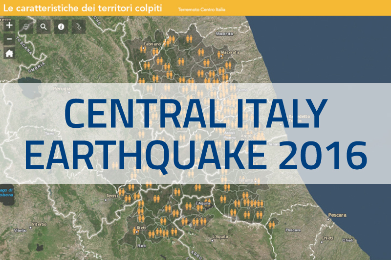
Characteristics of the affected territories. The maps present a picture of the socio-economic situation of the territories of Central Italy before the seismic events of August and October 2016 and January 2017.
Viability restoration activities. The map represents the activities in the field of restoration and safety of the road network following the earthquakes that struck Central Italy since August 24, 2016.
Emergency housing solutions. the progress of works. The map represents the progress of work in the areas of the earthquake crater where Sae-Emergency Housing Solutions are being built.
Temporary accommodation in containers. The map represents the areas in which container housing modules have been realized within the seismic crater.