Maps and dashboards

Roma, 2016 - Attività di monitoraggio e sorveglianza dei dati provenienti dalla rete radar nel Centro Funzionale Centrale

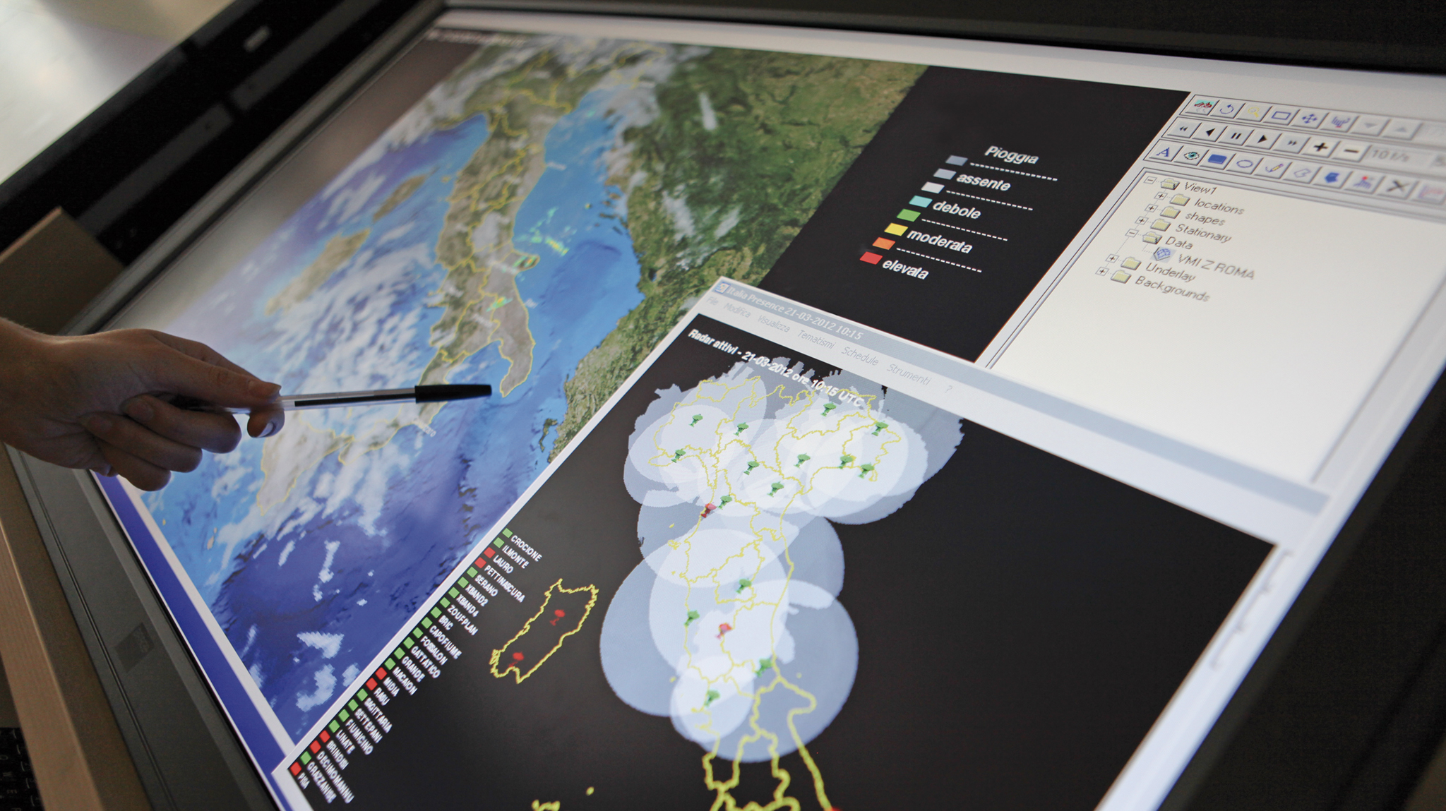
All the maps managed by the Civil Protection Department are displayed in this section. 

Maps can be browsed by risk, by emergency and initiatives.

In certain cases the data provided by other bodies and institutions or gathered in collaboration with other National Service actors are accessible to professionals, information operators and citizens.

Mappe e dashboards rischi

Risk maps and dashboards

In this section are available the maps and dashboards related to hydro-meteorological and volcanic risks. For the hydro-meteorological alert the...
Mappe e dashboards emergenze

Emergency maps and dashboards

In this section the maps and dashboards related to the most recent emergencies coordinated by the Civil Protection Department can be consulted....
Mappe e dashboards iniziative

Mappe e dashboards iniziative

In questa sezione sono consultabili le mappe e le dashboards relative agli eventi e alle iniziative promosse e realizzate dal Dipartimento della...